Brean Down
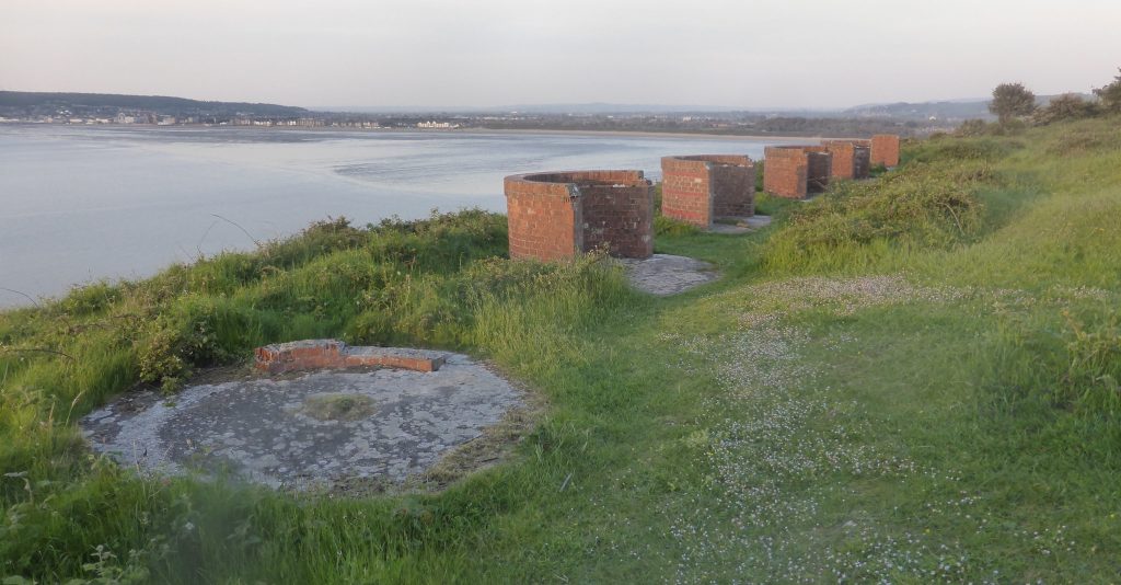
Brean Down is situated on a 300-million-year-old limestone deposit, marking the end of the Mendip Hills before disappearing under the channel. At the foot of the Down, visit the beach in summer to build sandcastles and go for a paddle, or in winter, it makes for a perfect spot for a brisk walk – finished off with a visit to the Cove Café for a hot drink. The tip of this headland holds Brean Fort, built in 1870 as a bastion against possible French invasion. Along the northern side’s military road, a large white arrow painted on the ground seems strange and out of place. However, this arrow was very important during WW2, indicating the direction of a practice range to passing bombers. Further along this path, explore the remains of brick-built Lewis Gun positions used for target practice in Weston Bay. If you prefer ancient history, Brean Down also has something for you – here, you can explore the relic of a Roman temple just underneath your feet.
For walking and hiking enthusiasts, Brean Down’s natural pier shape is worth walking up and down for clear views into the estuary and the Somerset Levels. The ‘ups and downs of Brean’ route is around 1 mile (1.6 km) long and is dog friendly. A longer three-mile walk, called the ‘Winter walk’, takes in the length of the natural pier and provides ample challenge hiking up the steep cliffside steps. This route is also dog friendly. Due to the large tidal range of the headland, make sure to keep track of dogs, and keep them on a lead when on the Down.
For more information, visit: