Oceanography
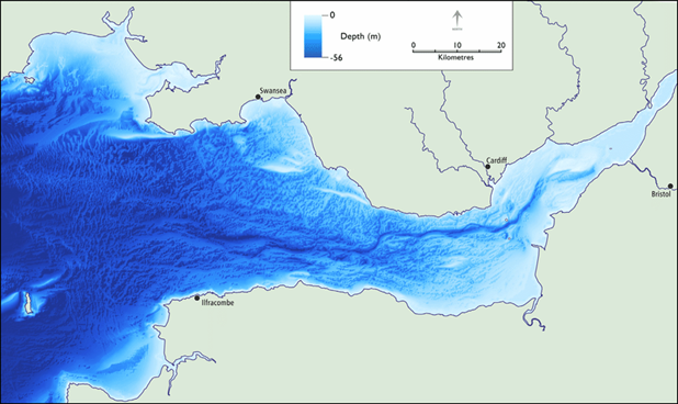
Oceanography refers to the physical, chemical and biological features of the ocean. The Severn Estuary is the second largest estuary in Britain and boasts the highest tidal range in Europe. At the Bristol Channel, water depth ranges from 50m at its seaward end to 10m near Avonmouth, where it then gradually shallows. The deepest water within the Severn Estuary is concentrated in narrow channels surrounded by greater shallows. Bathymetry is the field study concerned with measuring the depth and features of bodies of water. Figure 1 shows a high-resolution bathymetric map of the Severn Estuary and part of the Bristol Channel.
Tides in the Severn
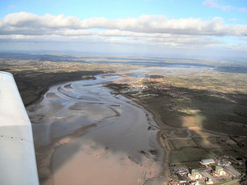
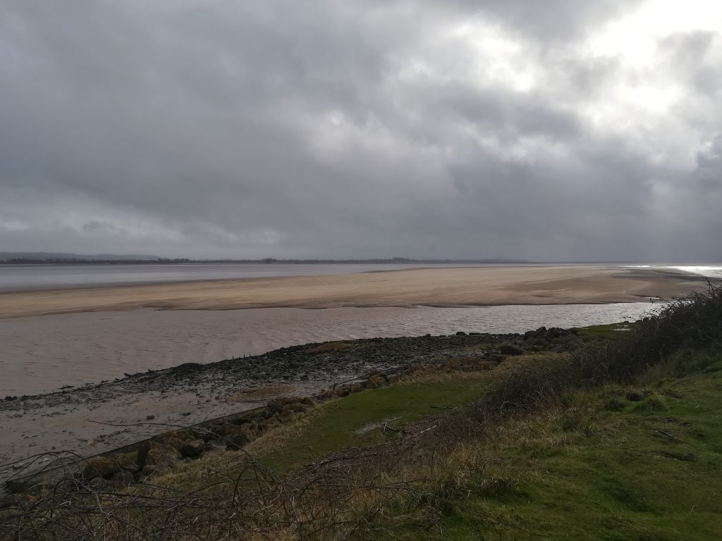
Tides within the Severn Estuary are amplified as they move inland with a tidal range exceeding 12m at Avonmouth during spring tides. Tidal currents in the Estuary are rectilinear, meaning they experience a ‘flood’ phase, a period of slack water lasting from seconds to minutes, and an ‘ebb’ phase. The speeds of the tide range from 1.5 m/s at spring tide and 0.75 m/s at neap tides. Strong tidal flows keep an estimated 10 million tonnes of suspended material in the water column, which causes the water to be brown in colour. The water column is not stratified by season, and instead remains well mixed all year. The highest tides within the Severn Estuary create a tidal wave known as the Severn Bore, which sweeps inland as a large wave.
Salinity of the Severn
The River Severn contributes hugely to the oceanography of the Severn Estuary. Variable outflows of freshwater from the river maintain an average salinity below 35 psu (practical salinity unit) annually. This changing salinity changes the density of water in the Estuary. More salt increases water density and causes it to sink, whereas less salt decreases water density and causes it to rise.
Sediment in the Estuary
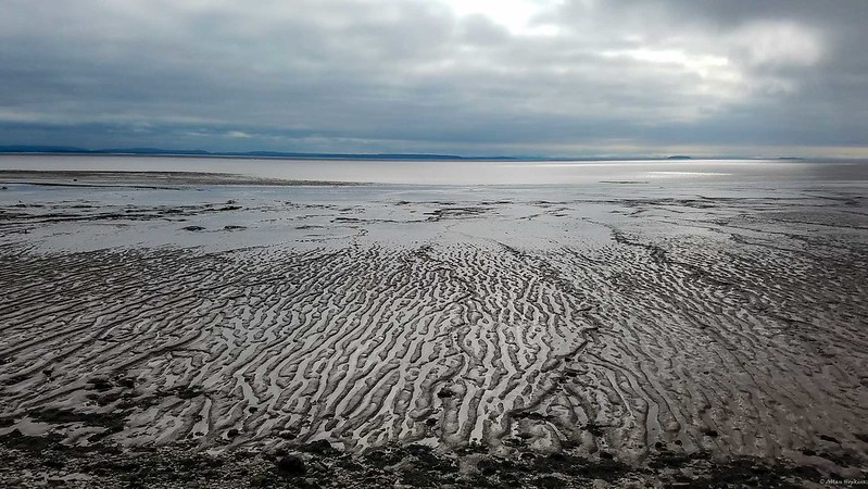
Subtidal sandbanks are found within the Estuary, and usually lie 20m below the water surface. They are formed of sloping mounds of sediment and can be permanent or ephemeral. Hydrodynamic processes (such as currents) and sediment supply controls the shape and formation on these sandbanks. Within the Severn Estuary, there are 1300 hectares of permanent sandbanks and 10440 hectares of ephemeral sandbanks. With a lot of these sandbanks shifting in the current, organisms inhabiting them must be able to adapt to the shifting sands. Worms, burrowing shrimps, snails and bivalves make these sandbanks their home.