Estuary perspectives
Estuary perspectives
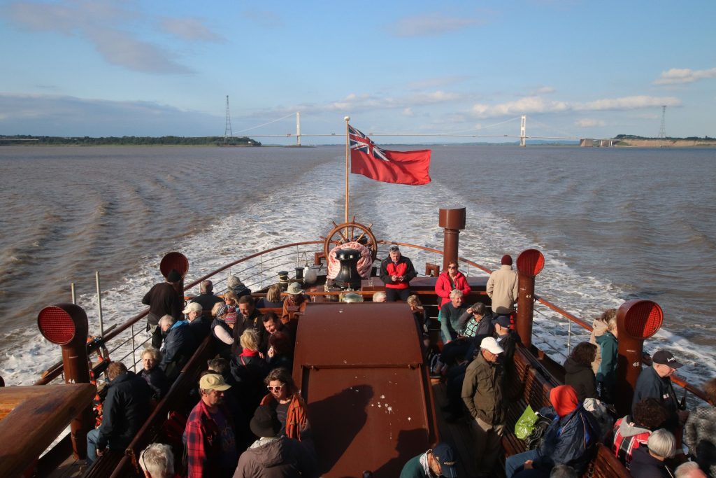
At the ‘heart’ of the estuary – between the bridges aboard PS Waverley (Waverley walk)
Introduction
It’s been a busy month. Between music courses and our annual holiday, unfortunately, I haven’t had the chance to spend much time exploring the estuary’s shores. Instead, I’d like to share some of my favourite moments from walks over the past year, focusing on a few aspects I’ve found especially fascinating. I hope these reflections might inspire you to head out and discover the estuary for yourself.
Tide scapes
I’m continually struck by the way the tides shape and reshape our estuary. One of the year’s highlights was our almost ‘private’ viewing of the Severn Bore at Alney Island in spring – a truly unforgettable sight. I’ve also been captivated by the intricate patterns left behind on the intertidal flats, and the remarkable archaeology preserved in the estuary’s muddy shores.
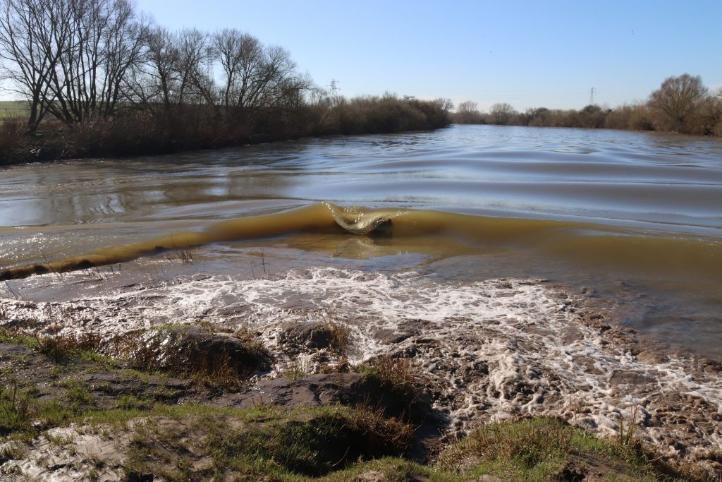
The bore arriving at Lower Parting, Alney Island (Bore walk)
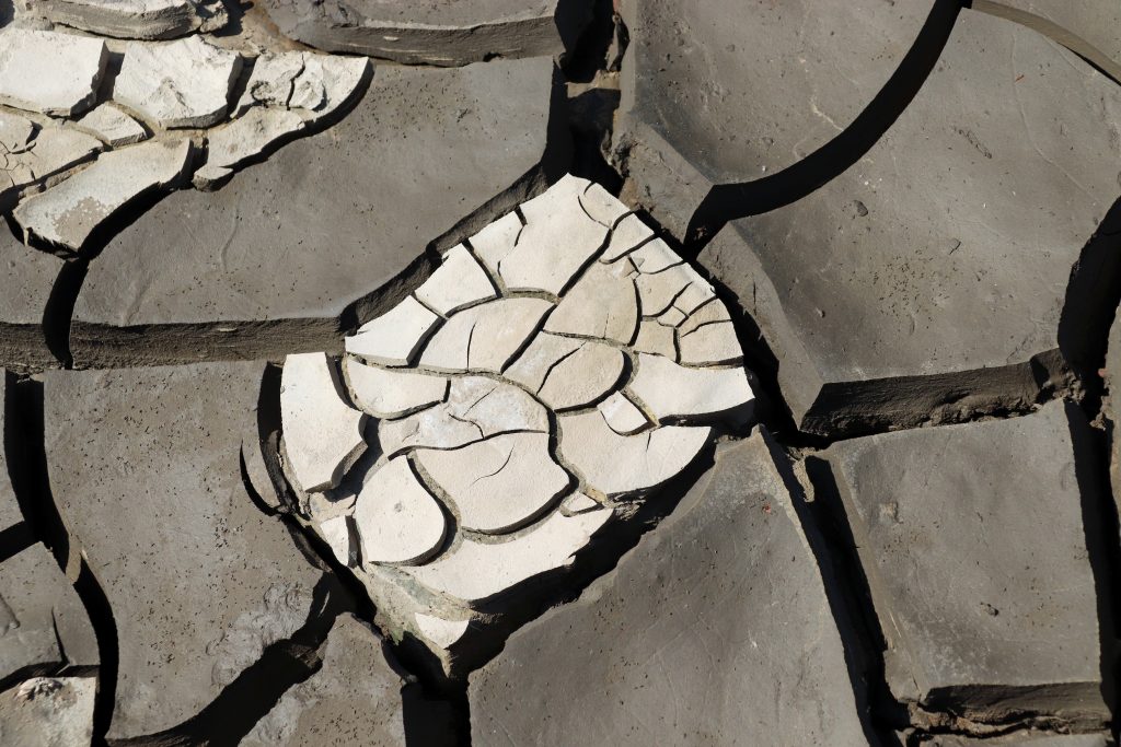
Mud cracks on the current foreshore (Beachley to Sudbrook walk)
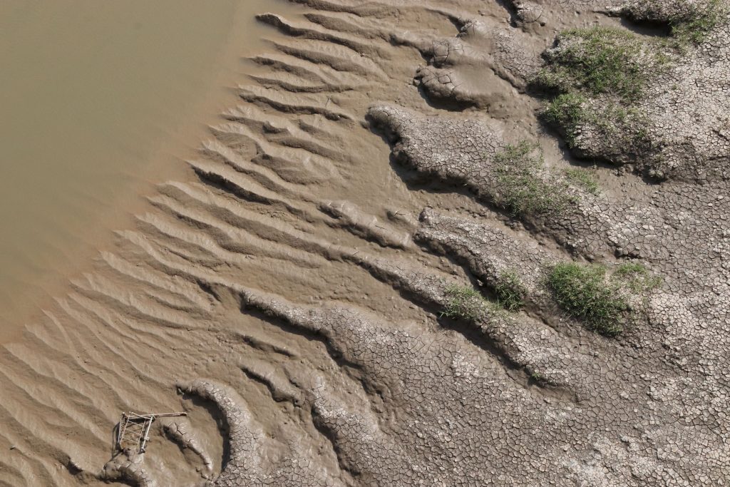
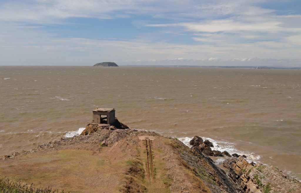
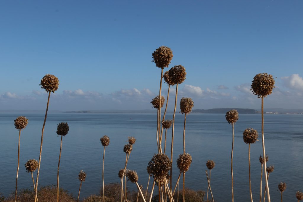
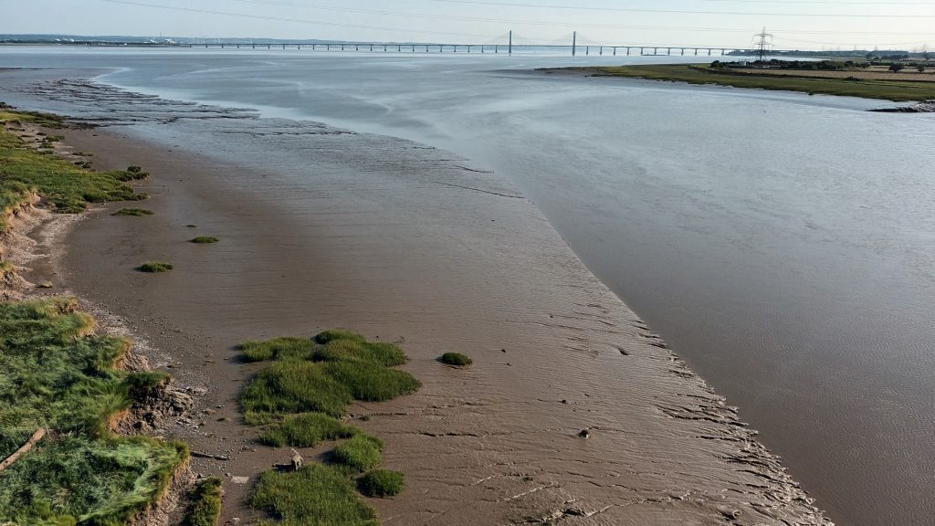
Mythical beasts along the muddy shores (Severn Bridge walk)
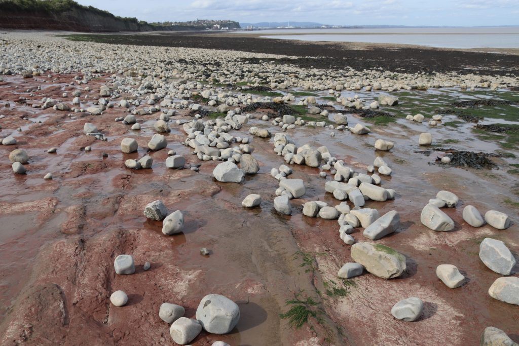
Wonderful contrasts on the foreshore near Lavernock Point (Penarth walk)
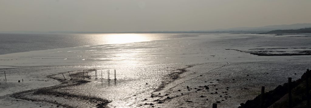
The silver shore at Goldcliff which holds many historical and archaeological treasures (Newport Wetlands to Goldcliff walk)
Islands
The estuary’s islands have a quiet, enduring allure. They feel almost like old friends, following you around the estuary, sometimes popping up in unexpected places and challenging your sense of geography! Steeped in history, they also provide sanctuary for rare, and at times unique, plants and wildlife. I particularly enjoyed our visit to Flatholm last autumn and discovering some of the challenges of island living and discovering Wales’ most southerly pub, the Gull and Leek!
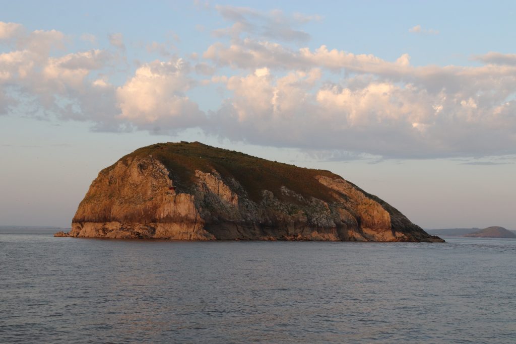
The rarely seen seaward shores of Steepholm from a recent cruise onboard PS Waverley (Waverley article)
A different geography – a distant view of the Holms from Sand Point (Sand Point to Brean Down walk)
Wild leeks on Flat Holm with distant views across to the Somerset coast (Flat Holm article)
The bridges
And then, of course, there are the bridges. I hope you’ll forgive me for including yet more photos, but given the Severn Estuary Partnership’s logo, to me they are part of what defines this place. I’ve loved exploring both bridges from many different perspectives, though walking across the Severn Bridge last summer on one of the hottest days of the year stands out above all. From that lofty—if deafening—vantage point, I was struck not only by the elegance of its engineering, but also by the sweeping, unforgettable views across the estuary.
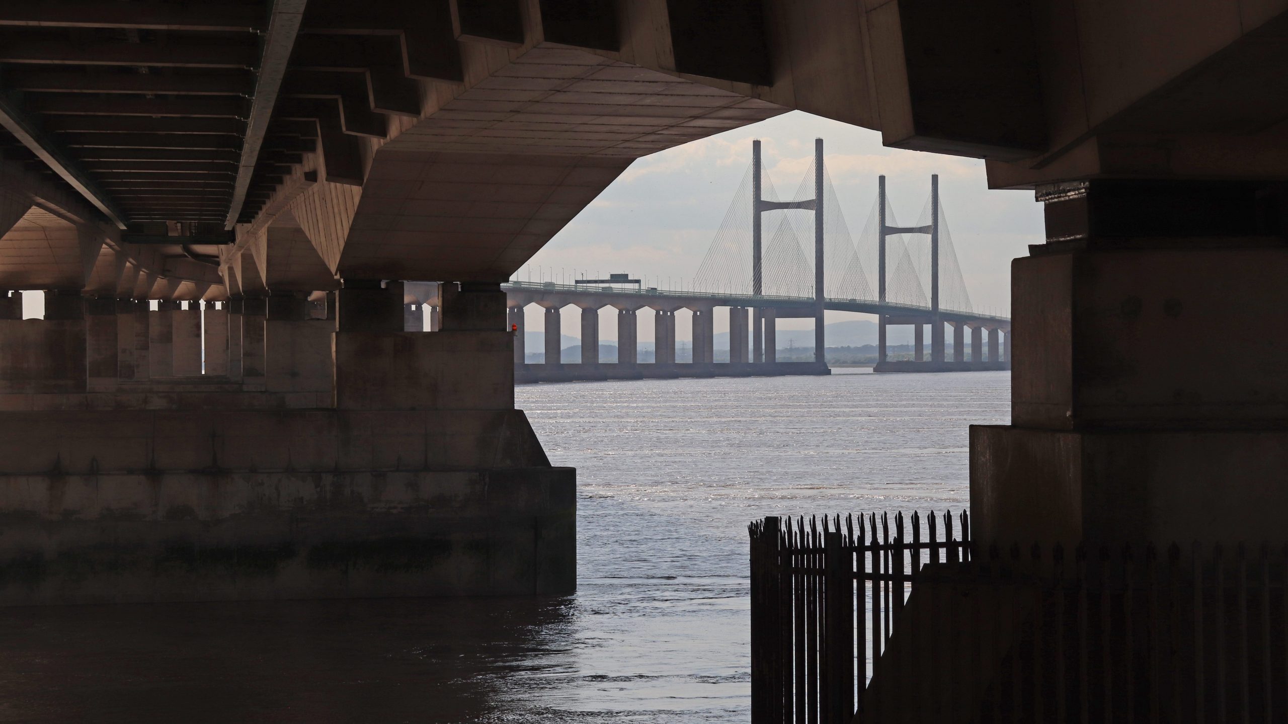
A new perspective of the Prince of Wales Bridge – from below – near Sudbrook (Beachley to Sudbrook walk)
Heading towards the second tower on the Severn Bridge (Severn Bridge walk)
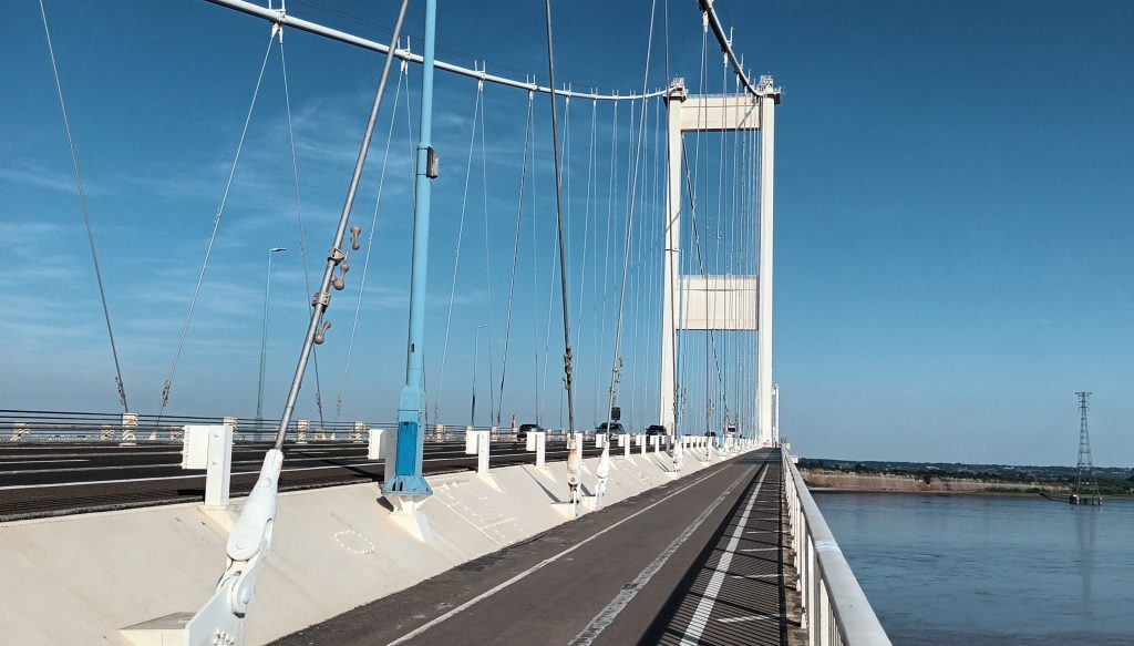
Heading towards the second tower on the Severn Bridge (Severn Bridge walk)
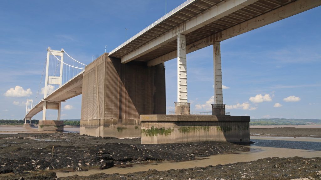
A distant view towards the Prince of Wales Bridge across the mudflats from the Severn Bridge
The last 30 years
As we’ve been celebrating our Partnership’s thirtieth anniversary, I’ve found myself reflecting on the many changes the estuary has seen over this period. Perhaps the most visible transformations have been along its urban shores, where once-decaying docklands have given way to vibrant waterfronts in our port cities and towns. Even more remarkably some of our former industrial shores, such as the Newport wetlands, have been transformed into wildlife havens. Many of the estuary’s resorts, too, have been refreshed, with piers restored and promenades revitalised. Yet these bright new façades sit alongside more sobering shifts. Concerns over water quality and declining fish stocks have curtailed some of the estuary’s traditional activities, making it harder to imagine the close maritime ties of previous generations.
The construction and opening of the Second Severn Crossing—now the Prince of Wales Bridge—in 1996 reshaped the geography of the estuary, strengthening physical connections across its shores. Political changes brought about by devolution have introduced new challenges for its integrated management. Of more concern still is the creeping spread of development at the edges of our settlements alongside the growing threat of climate change. It is little wonder that so much of the estuary’s shoreline now bears the marks of new and strengthened flood defences.
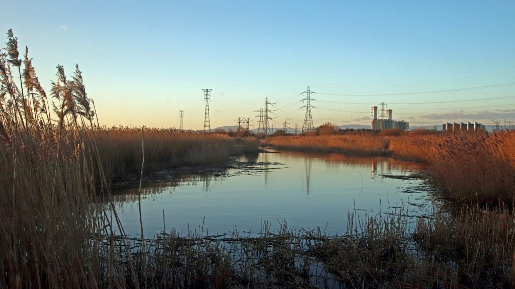
Evening light across the RSPB Newport Wetlands reserve, once a former industrial site (Newport wetlands walk)
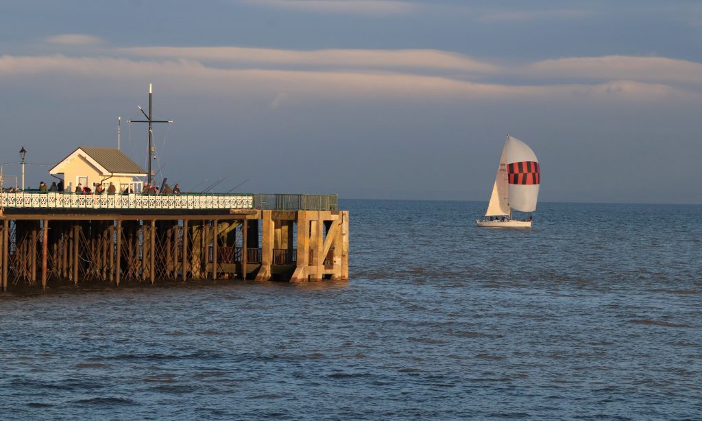
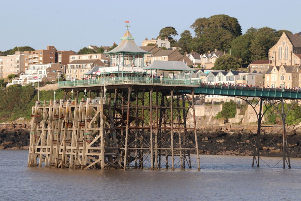
Penarth Pier bathed in the evening sunshine (Penarth walk)

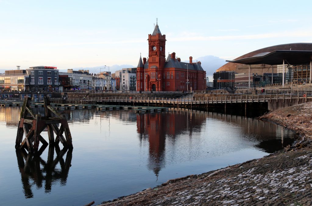
The Pierhead Building and the Senedd (the seat of Welsh Parliament, Senedd Cymru) at the heart of Cardiff Bay (Cardiff Bay walk)
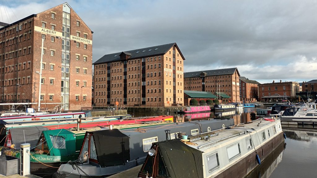
Victoria Dock is one of the most imposing dockland restoration schemes around the estuary, particularly as much of the maritime and industrial heritage lies at the heart of the regeneration (Gloucester walk)
The beautifully restored Clevedon Pier from the deck of PS Waverley (Waverley article)
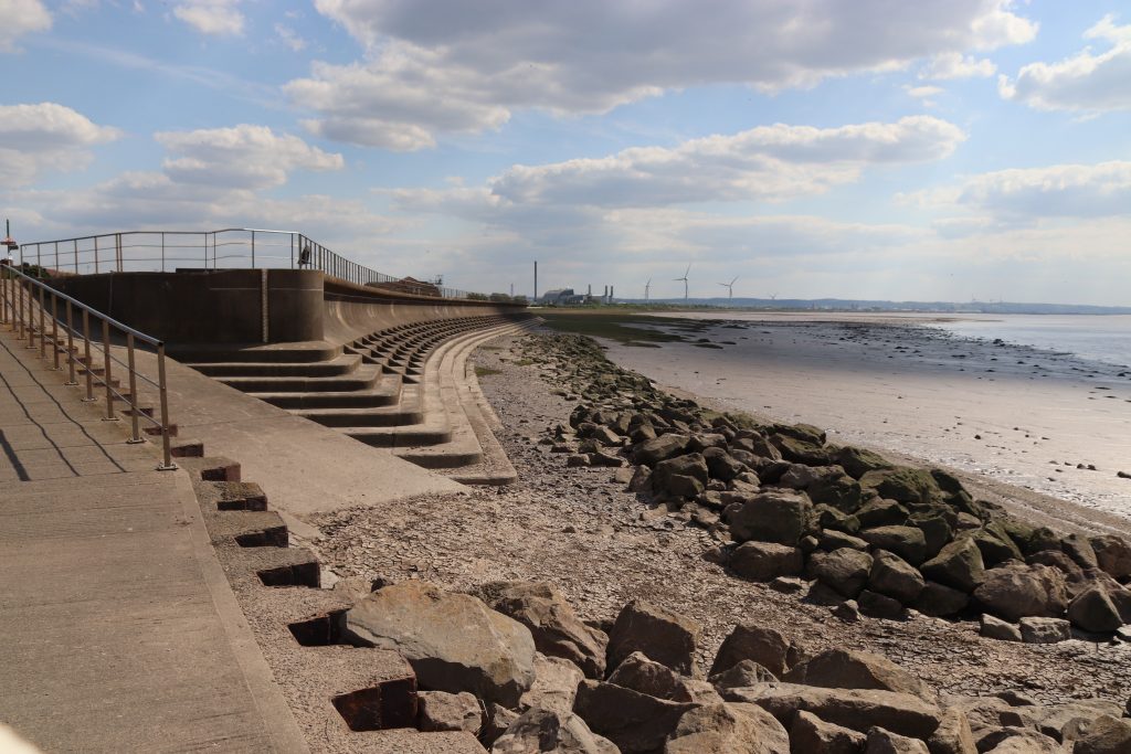
Sea defences at Severn Beach with distant views of Avonmouth (Aust to Severn Beach walk)
Further reflections and conclusions
I hope you’ve enjoyed these reflections on my walks along the estuary so far. Its shores are full of variety, and each walk seems to reveal fresh insights into its history, its communities, and its natural environment. If you have suggestions for stretches I should explore next, or know local people whose perspectives on the estuary would be worth sharing, I’d love to hear from you. Please get in touch via the SEP email: Severn@Cardiff.ac.uk.
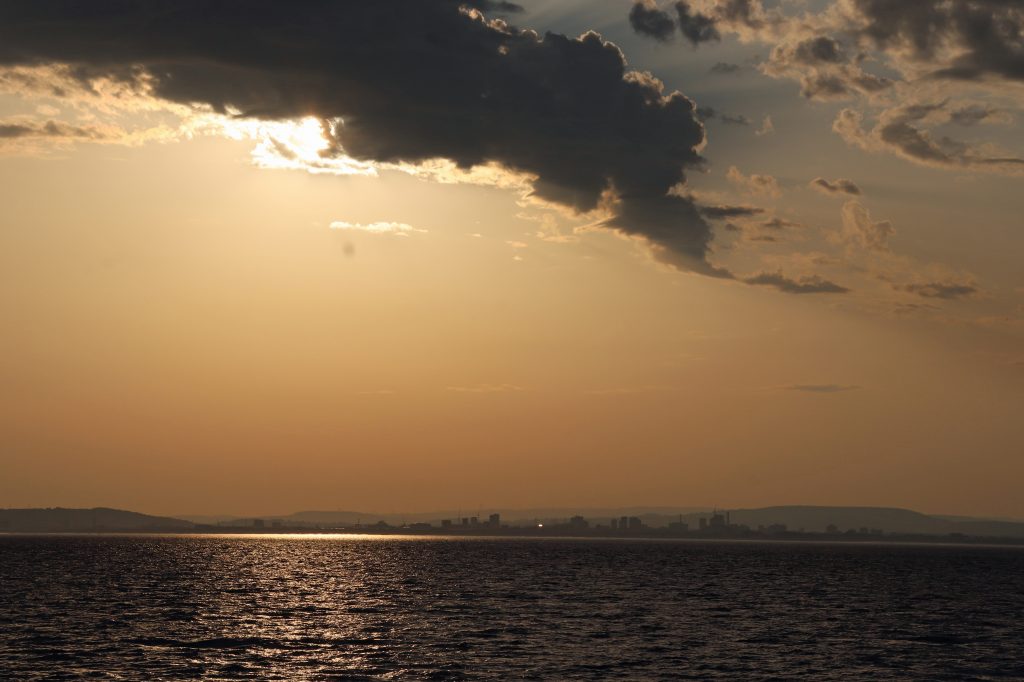
The dramatic evening skyline of Cardiff from offshore on the PS Waverley, summer 2025